« Day 8 - Great Divide Lodge, Yoho National Forest, B.C., Canada to Prince George, B.C., Canada (Sat 7/26/14) | Main | ALCAN Highway Mile-By-Mile Description »
July 27, 2014
Day 9 - Prince George to Fort St John - The ALCAN Highway (Sun 7/27/14)
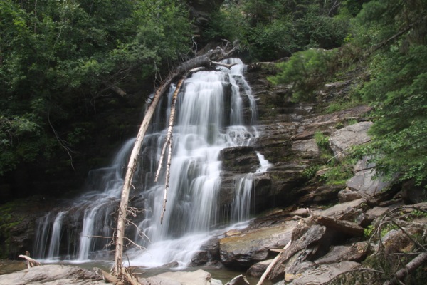
Above: Bijoux Falls, at Bijoux Falls Provincial Park on the John Hart Highway north of Lake McLeod Lake and south of Pine Le Moray Provincial Park.
Additional Photos in the Extended Entry
(Sun 7/27/14)
Update: I am alive and well and resting peacefully in the town of Fort St John, at Milepost 47 on the "Alaskan Highway", aka the "Alaska Highway", aka the "ALCAN Highway".
My plan is today to drive to Dawson Creek, Mile Marker 0 on the ALCAN Highway. Distance is about 400 km (300 miles). Forecast is clear and sunny. Should be a nice ride today.
Here's a map of where I went today.
Starting Odometer: 17,204
Ending Odometer: 17,532
Miles Driven Today: 328.0
Miles Driven This Trip: 2,880
Video 1 (warning: has audio)
Video 2 (warning: has audio)
This morning, I go out and, in the parking lot I find a note on my motorcycle and some candies also. This has never happened before, to the best of my recollection. I grab my iPhone to take a picture, unsure of what I've found.
Back in Kalispell, they'd brought us a bucket of warm soapy water to wash the bikes, and also a hose and some rags. But putting candy on a motorcycle? This is a first for me.
But when I read the note, I see it's from my neighbor. Last night, I pulled in, not realizing it was 9:30 p.m. at night. Because my battery has been disconnected several times and I forget how to set the clock on my KTM and I'm too lazy to read the manual and my little digital clock display took a dirt nap on me. So, I don't really have a good handle on what time it is. Or what day it is, for that matter. I just sort of drive and sleep and I'm not sure what day or time it is, or if it even matters.
In any event, I saw their bikes last night in the parking lot and knocked on their door to ask "where y'all going?" and he, in his underwear said "to bed". And I was like..."OH...OK. Sorry to bother you." And I left them alone.
Apparently, he found bad for being such a dick to me and left me a note saying as much and a few pieces of candy as well.
I install my new freshly charged battery from Wal-mart in the parking lot. I'm sure people in hotels dread seeing me coming. I'm reasonably sure I drive down the real-estate values wherever I wander.
I'm trying to decide if I should go west and up the Dease Lake Road, or go back east and backtrack some to get to the ALCAN Highway at Dawson Creek.
The more direct route appears to be The Dease Lake Road, but I can't find that there are any hotels there. And there isn't any place to stay in Kitwanga.
One of the guys I was talking to in the Wal-mart Parking lot yesterday was adamant that I should take the ALCAN Highway instead of the Dease Lake Road, as it's "paved", and will have more touristy things along the way, (presumably gas and hotels).
And I can't really figure out what to do on the Dease Lake Road if there isn't a place to stay. I mean, if it means I have to drive another 300 miles in the dark, then that's not safe.
So I decide to head to Dawson Creek and pick up the ALCAN Highway. He's mentioned that there's a Mile Marker 0 in the center of town with 3 flags on it, which sounds kinda neet.
He's explained all of the places to me that will sell gas along the route to Dawson Creek...where to stop, how far between gas stations, etc. This is very good info ration, as what you see on the internet may or may not be accurate.
I roll out of town, heading roughly north and then east. It's nice, but we're not really in the Rocky Mountains any more. More like elevated plains of green fields. Lots of farmers growing hay. We follow some rivers now and again. I don't really shoot a lot because I've seen such inconceivably beautiful terrain for the last week, that this doesn't quite seem to measure up.
Eventually, I see a motorcycle pull over on the shoulder. I stop to check on him.
"Are you OK, buddy?"
"Yeah. Thanks. Just going back to take a picture of that waterfall."
So, we go back to see the waterfall that I'd missed. He lives in the area and always drives by it. It's not even like you have to hike into it. It's 50 yards from the road, at the edge of the parking lot.
We stop to take some shots, and I find out he's also going to Dawson Creek. So Iask if he minds if i ride with him. He doesn't mind, so the two of us ride together, heading towards Dawson Creek.
I'm so tired I can hardly keep my eyes open. I stayed up until 3:00 a.m. this morning working on tracking my expenses, copying over photos, etc.
We wind through mountains and fields and, at some point, an elk comes up to the edge of the road and I wonder if he's going to hit the elk. He slows down a great deal, and at the last second, the elk turns and runs back away from the road, towards the way he came.
An elk is a large creature. Much larger than a deer. That would have sucked.
Eventually, we come to the town of Chetwynd, and we stop for gas. I stop for gas, and manage to let the bike fall over, trapping my leg. It wasn't hurting my leg, but I couldn't lift the bike alone, so I was waiting for Chris to come over and realize what was going on. Eventually, he did and yanked the bike up off of me.
We stood the bike back up. No damage, except for my right mirror broke.
Eventually, Chris turns off right before we get to Dawson Creek. He says "safe travels" and goes on his own way. At Dawson Creek, I ask some people where Mile Marker 0 is. Two people on a motorcycle send me to the general vicinity, but it's sort of tricky because they've set up this place where they want you to take your touristy photos, but it's not really the actual Mile Marker 0...that's a block up and a block over. I know this because some little girl came walking by and told us.
I've now met this couple from Alexandria Louisiana in a rented Dodge Charger. So, we all 3 go to the correct location in town of the original Mile Marker 0 and go stand in the street illegally to get out photos.
Chris told me there aren't any motorcycle dealers in town, but that I could probably get someone to weld my mirror for me. I ask some guys I see in a shop, but they say the next town has motorcycle shops, and will have welding shops that will be open also, since tomorrow is Monday, apparently.
I'm not sure where to spend the night, but I feel like I should be able to make the next town which is only like 60 km up the ALCAN Highway at Fort St John.
At Fort St John, I'm exhausted. So tired there aren't words. But this is where you have to be your sharpest. I've given up on the internet reservations because I think they're a scam - a racket. Instead, I've learned to walk into a hotel, ask for their cheapest room, and then ask them for a cheaper motel. They'll keep sending you to cheaper and cheaper motels until it gets into the federally-subsidized-housing-type of situation.
So, when you're at your most tired is when you need to be your sharpest. I've learned this when I roll into town.
Photos in the Extended Entry.
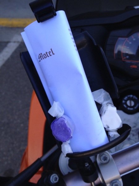
Above: Hmmm. Never seen this before...there's a note on my bike....
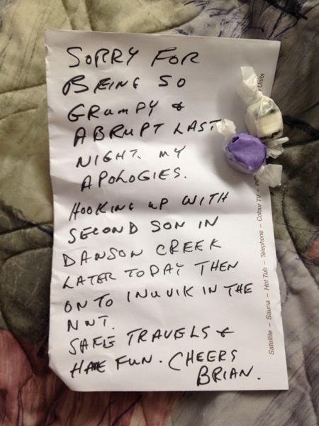
Above: It's an apology from Brian. Last night, I knocked on his door, not realizing how late it was. It was broad daylight at 9:30 p.m., so I didn't realize people might be sleeping. I ran into him and his sons later on. Small world.
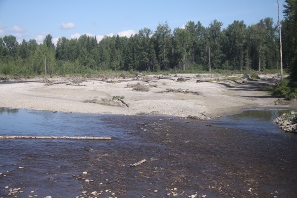
Above: Driving from Prince George, BC to Dawson Creek, BC (This stretch of BC 97 is named the "John Hart Highway").
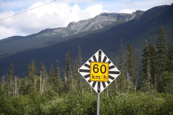
Above: Driving from Prince George, BC to Dawson Creek, BC (This stretch of BC 97 is named the "John Hart Highway").

Above: Bijoux Falls, at Bijoux Falls Provincial Park on the John Hart Highway north of Lake McLeod Lake and south of Pine Le Moray Provincial Park.
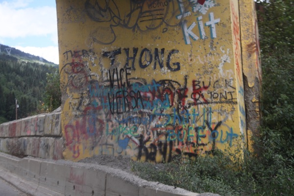
Above: Driving from Prince George, BC to Dawson Creek, BC (This stretch of BC 97 is named the "John Hart Highway").
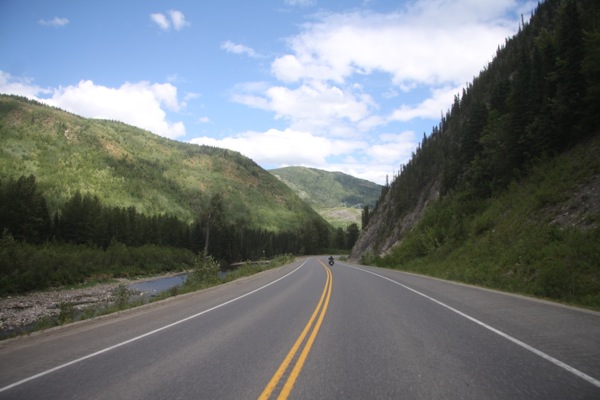
Above: Driving from Prince George, BC to Dawson Creek, BC (This stretch of BC 97 is named the "John Hart Highway").
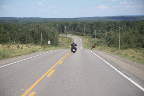
Above: Driving from Prince George, BC to Dawson Creek, BC (This stretch of BC 97 is named the "John Hart Highway").
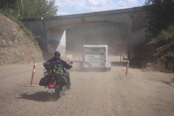
Above: Driving from Prince George, BC to Dawson Creek, BC (This stretch of BC 97 is named the "John Hart Highway").
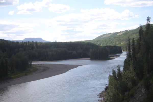
Above: Driving from Prince George, BC to Dawson Creek, BC (This stretch of BC 97 is named the "John Hart Highway").
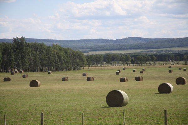
Above: Driving from Prince George, BC to Dawson Creek, BC (This stretch of BC 97 is named the "John Hart Highway").
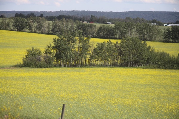
Above: Driving from Prince George, BC to Dawson Creek, BC (This stretch of BC 97 is named the "John Hart Highway").
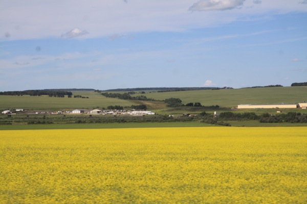
Above: Driving from Prince George, BC to Dawson Creek, BC (This stretch of BC 97 is named the "John Hart Highway").

Above: Mile Post 0 on the Alaskan (ALCAN) Highway in Dawson Creek, BC.
Posted by Rob Kiser on July 27, 2014 at 10:19 AM
Comments